


Description
The “Web GIS Full Stack Development Course (Open Source)” is an educational program published by the online academy Udemy. You will learn how front-end and back-end technologies integrate with spatial databases, mapping libraries, and geospatial services to deliver dynamic, data-driven mapping solutions. Through a full-stack development approach, you will gain an understanding of how to visualize geographic information, manage location-based queries, and build web applications for mapping, spatial analysis, and geographic data management. You will grasp the fundamentals of Web GIS and full-stack development, while exploring open-source technologies used to create web-based mapping applications. You will build complete Web GIS applications from scratch using open-source tools and develop responsive web interfaces using HTML, CSS, JavaScript, and jQuery. Furthermore, you will create interactive maps using Leaflet and learn how the front-end and back-end components collaborate within a full-stack Web GIS system. You will also build back-end services using Node.js and publish and manage spatial data using GeoServer.
You will work with spatial databases—utilizing PostgreSQL and PostGIS—to execute spatial queries and efficiently manage geographic data. Additionally, you will integrate maps with APIs and back-end services, visualizing geographic data through the use of layers, markers, popups, and custom styling. You will manage real-world GIS datasets, build practical applications, and gain an understanding of map services such as WMS, WFS, and REST APIs. You will develop end-to-end Web GIS applications, working confidently across the front-end, back-end, and spatial databases. Whether you are a web developer looking to enter the field of GIS, or a GIS enthusiast with an interest in programming, this course will help you build a foundation for creating flexible, scalable, and cost-effective Web GIS solutions using open-source tools. You will also explore practical applications in areas such as urban planning, transportation, environmental monitoring, and spatial analysis.
What you will learn in Web GIS Full Stack Development Course Open Source:
- Build complete Web GIS applications from scratch using open-source technologies
- Develop responsive web interfaces using HTML, CSS, JavaScript, and jQuery
- Create interactive maps using Leaflet
- Understand how frontend and backend work together in a full stack Web GIS system
- Build backend services using Node.js
- Publish and manage spatial data using GeoServer
- Work with spatial databases using PostgreSQL and PostGIS
- and …
Course specifications
Publisher: Udemy
Instructors: Sam Kibui
Language: English
Level: Introductory to Advanced
Number of Lessons: _
Duration: 38 hours and 26 minutes
Course topics on 2026/6
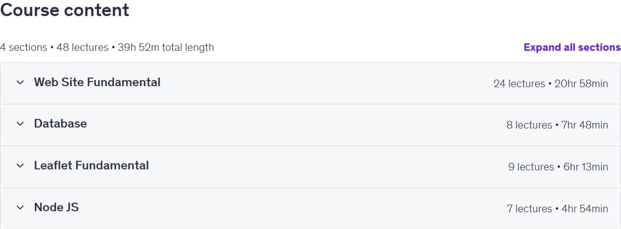
Web GIS Full Stack Development Course Open Source Prerequisites
Basic understanding of computers and internet usage
Familiarity with HTML, CSS, and JavaScript basics (helpful but not mandatory)
Basic knowledge of GIS concepts (maps, coordinates, layers) is a plus
A system (Windows/Linux/Mac) capable of installing required software
Willingness to learn full stack development and Web GIS technologies
Pictures
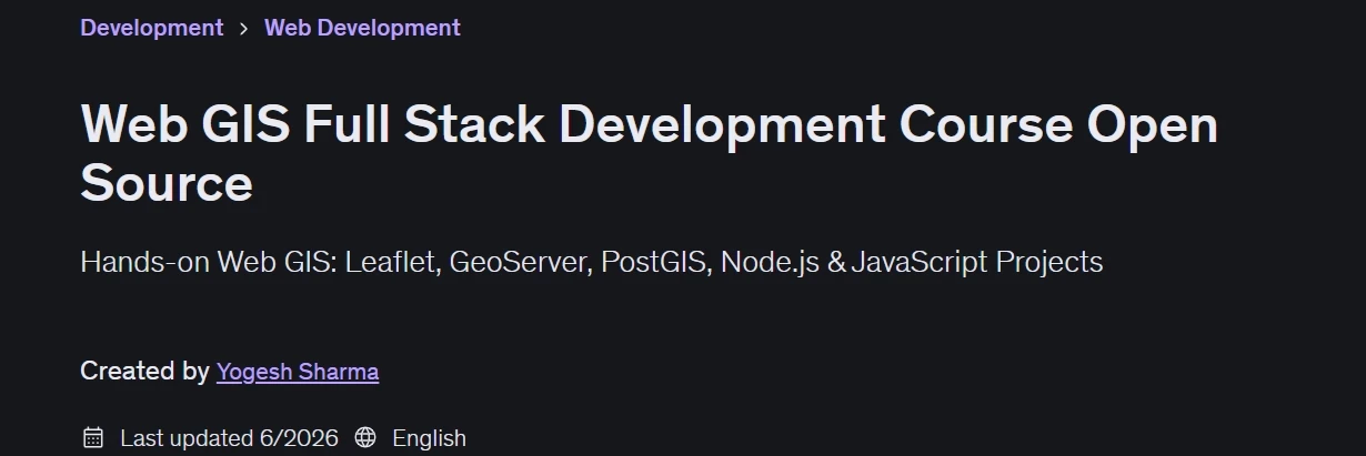
Web GIS Full Stack Development Course Open Source introduction video
Installation guide
After Extract, watch with your favorite Player.
English subtitle
Quality: 1080p
Downloadly link
Rapidgator link
File password (s): www.downloadly.ir
Size
22.3 GB